
The story behind the maps:
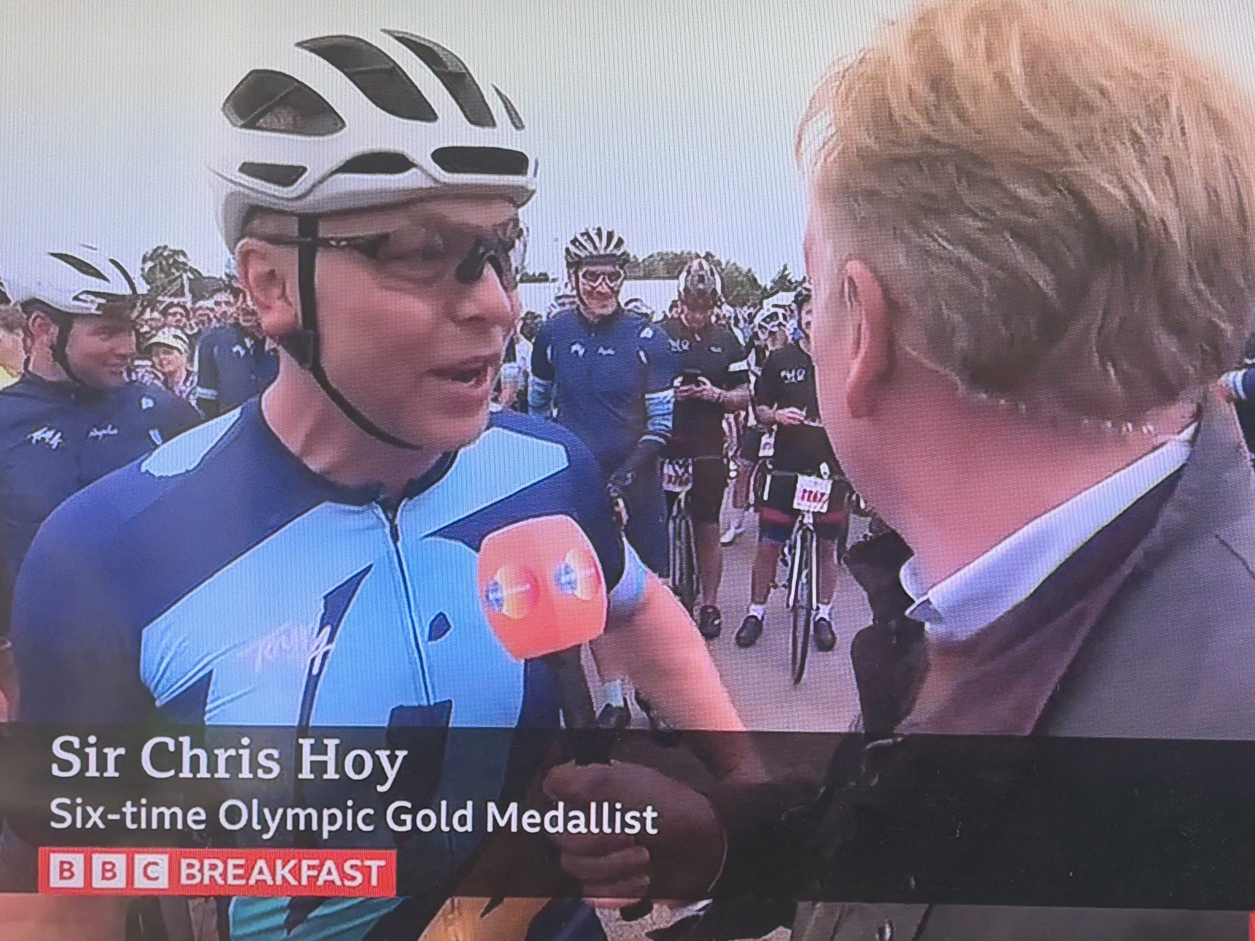
After watching Sir Chris Hoy’s documentary, in which he shared his cancer story, I was compelled to reach out and support his new charitable initiative. He urged us all to live our lives to the fullest and grasp every opportunity, so I contacted his amazing team and offered to make a map as my small way of supporting them.
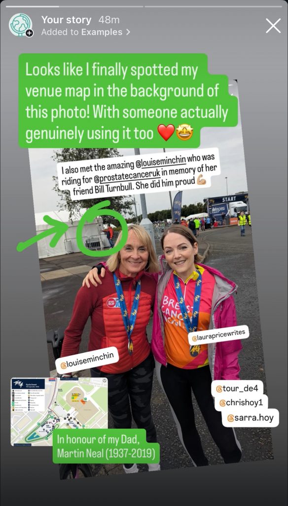
It was also my way of honouring my Dad, who passed away in 2019, also of cancer, and gave me the chance to do something positive with my work and experience in major event mapping.
The maps:
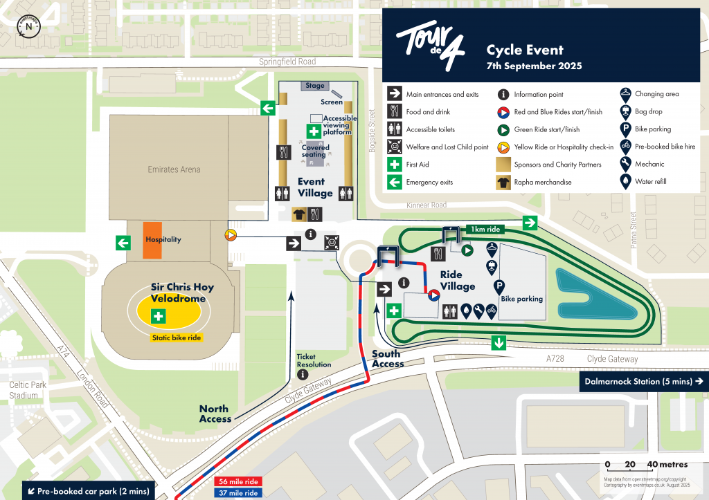
The Sir Chris Hoy Velodrome Tour de 4 venue map was created in August 2025 with collaboration from the organising team to locate the exact details of the features required. This was used throughout the venue and was published in both a north-up and rotated version, so that it could support wayfinding via the entrance on Clyde Gateway. This will be updated again during Summer 2026 for the next event.
The route overview map covering Glasgow and the Campsie Fells is new for 2026, and has been created to help publicise the event and as a memento for those participating. It shows the variation between the blue 37-mile ride and the red 56-mile ride, and highlights to riders where along the marshalled routes the feed stations will be located. It features subtle contours, hillshading and icons to relate to the venue map. In addition to information for the participants, the NCN routes have also been included to support spectator access and encourage all to get on their bikes and support the cause.
Leave a Reply
You must be logged in to post a comment.